BEIN 90 1645: Sheet measures 50 x 60.6 cm., Relief shown pictorially., In Dutch on verso, with caption title "Beschryvinghe van Zvyd-America" and signature 2I., and From Jan Jansson's Nieuwen atlas ... Amsterodami : Apud Ioannem Ianssonium, 1647.
Danckerts, Cornelis, ca. 1603-1656 Lazius, Wolfgang, 1514-1565
Published / Created:
[ca. 1631]
Call Number:
1983 Folio 19
Collection Title:
[Atlas factice of 96 maps by Blaeu, Visscher, Jansson, Hondius and others]
Image Count:
1
Description:
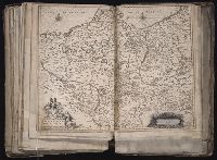
Imperfect: Trimmed along edges, with no loss of text. Reinforced along edges with printed waste. Sheet measures 39 x 51 cm. No. 81 of 92 maps bound together. and Numbered 87 in pencil, 85 in ink, on verso.
[Atlas factice of 96 maps by Blaeu, Visscher, Jansson, Hondius and others]
Image Count:
1
Description:
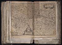
Imperfect: mutilated along fold, with some loss of text; bar scale cut out and replaced in ms. Reinforced along edges with printed waste. Sheet measures 39.1 x 50.4 cm. No. 78 of 92 maps bound together. and Numbered 84 [80, cancelled] on verso.
Publisher:
Excudebat Ioannes Ianssonius
Subject (Geographic):
Brandenburg (Germany : Landkreis) --Maps --Early works to 1800s, Mecklenburg-Vorpommern (Germany) --Maps --Early works to 1800, and Pomerania (Poland and Germany) --Maps --Early works to 1800
BEIN 96 1667: Mounted on linen. Sheet measures 45.3 x 55 cm., Relief shown pictorially., Oriented with north to the left., Bar scales in "Milliaria Gallica communia," "Leucae Hispanicae," and "Milliaria Germanica communia.", and From Blaeu's Atlantis appendix (1630 or 1631 eds.).
[Atlas factice of 96 maps by Blaeu, Visscher, Jansson, Hondius and others]
Image Count:
1
Description:
Imperfect: hole along folds, with some loss of text. Sheet measures 39.5 x 52 cm. Reinforced along edges with paper. No. 52 of 92 maps bound together. and Numbered 56 on verso.
On p. 56: engraving depicting two men, one with his hand's bound and a bell around his neck, the other carrying an ax and two sticks, or a weapon of some kind. On pl. 94, opposite p. 94: an engraving depicting a bell-ringer, or carillon and carillonnear i
Blaeu, Joan, 1596-1673. Theatrum orbis terrarum Blaeu, Willem Janszoon, 1571-1638
Published / Created:
[ca. 1630]
Call Number:
1983 Folio 19
Collection Title:
[Atlas factice of 96 maps by Blaeu, Visscher, Jansson, Hondius and others]
Image Count:
1
Description:
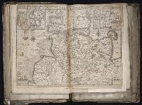
Imperfect: torn and mutilated along fold and edges, partially repaired, with some loss of text [partially duplicated in ms.]. Ms. no. on verso: 15. Sheet measures 39.8 x 50 cm. No. 12 of 92 maps bound together.
Publisher:
Guiljelmus Blaeuw excudit
Subject (Geographic):
Schleswig-Holstein (Germany) --Maps --Early works to 1800