Carte détaillée de l'Afrique et des îles qui en dependent and Afrique méridionale
Description:
BEIN 60 1828: Blindstamps: G.H. Picouet a Paris. Manuscript annotations on both sheets., Relief shown by hachures., Northern sheet has "Atlas en 65 feuilles, No. 52" above neat line; southern sheet "Atlas en 65 feuilles, No. 53.", and Includes insets: Extrémité Sud de l'Afrique, ou Colonie du Cap, Pays des Hottentots et Betjouanas; Archipel du Nord-Est de Madagascar; Abyssinie et Pays des Gallas, etc.
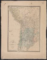
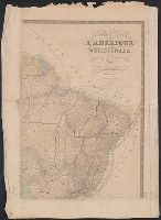
"Dédiée à l'Académie des sciences de l'Institut de France.", Includes inset maps: Archipel des Îles Gallapagos -- [Île Pierre Ier.] -- [Île Alexandre Ier.] -- [Penedo de S. Pedro ou S. Paul] -- [Î. de la Trinité] -- Archipels des Îles Shetland et des Orcades méridionales -- Terres antarctiques au sud-est de l'Amérique., Principal meridian: Paris., and Relief shown by hachures.
"Dédiée à l'Académie royale des sciences de l'Institut de France.", "Oeuvre posthume.", Bottom left sheet embossed with seal of Ch. Piquet., Covers North America and Iceland., and Insets: Complement pour les possessions Russes dans l'Amérique du nord -- Arch
Publisher:
Chez Ch. Picquet, Quai Conti no. 17, preś du Ponts des Arts,