Skip to search
Skip to main content
Skip to first result
Search
You Searched For
Extent of Digitization
Completely digitized
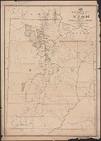
Subject (Name)
Roeser, C. (Charles)
Search Results
Creator:
Published / Created:
[1878?].
Call Number:
75 1878
Container / Volume:
BRBL_00406
Image Count:
16
Resource Type:
Maps, Atlases & Globes
Alternative Title:
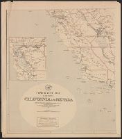
Centennial map of the United States and territories and Centennial map of the United States, 1879.
Description:
Imperfect: Sheet 5 wanting.
Publisher:
J. Bien,
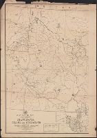
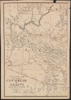
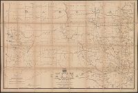
Subject (Geographic):
United States--Maps
Subject (Name):
Bien, Julius, 1826-1909, Roeser, C. (Charles), United States. General Land Office, and Woods, William L
Found in:
Beinecke Rare Book and Manuscript Library > 1876 Centennial map of the United States and territories : showing the extent of public surveys, indian and military reservations, land grant R.R. rail roads, canals, cities, towns & other details / compiled from the official surveys of the General Land O
Creator:
Published / Created:
1876
Call Number:
75 1876
Container / Volume:
BRBL_00405
Image Count:
6
Resource Type:
Maps, Atlases & Globes
Description:
Insets: Alaska and Aleutian Islands.
Publisher:
Photolith. and printed by J. Bien,
Subject (Name):
Bien, Julius, 1826-1909 and Roeser, C. (Charles)
Subject (Topic):
Canals--United States--Maps, Indian reservations--United States--Maps, Military reservations--United States--Maps, Railroad land grants--United States--Maps, Railroads--United States--Maps, and Surveying-
Found in:
Beinecke Rare Book and Manuscript Library > Map of the United States and territories, showing the extent of public surveys, Indian and military reservations, land grant R.R., rail roads, canals, and other details / compiled from the official surveys of the General Land Office, and other authentic s
Branch:v1.68.7 ,Deployed:2025-07-09T09:08:12-04:00