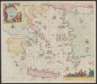
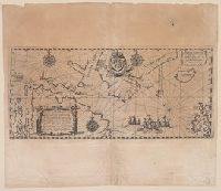
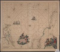
1.

- Published / Created:
- 1596]
- Call Number:
- 556 1596
- Container / Volume:
- BRBL_00292
- Image Count:
- 2
- Resource Type:
- Maps, Atlases & Globes
- Alternative Title:
- Exacta et accurata delineatis cum orarum maritimarum tum etjam locorum terrestrium and Waarachtige wtworpinghe ofte afbeeldinge van alle dje custen end landen
- Description:
- Appears in the author's Itinerario. 1596., Backed with paper., Has watermark., Includes ill., Latin and Dutch., Oriented with north to the left., and Relief shown pictorially.
- Publisher:
- C. Claesz,
- Subject (Geographic):
- Southeast Asia--Maps--Early works to 1800
- Subject (Name):
- Langren, Arnold Florent van, 1580-1644, Langren, Henricus F. ab (Henricus Florentius), ca. 1574-1648, engraver, Linschoten, Jan Huygen van, 1563-1611, and Linschoten, Jan Huygen van, 1563-1611. Itinerario, voyage ofte schipvae
- Subject (Topic):
- Nautical charts--South China Sea--Early works to 1800 and Nautical charts--Southeast Asia--Early works to 1800
- Found in:
- Beinecke Rare Book and Manuscript Library > Exacta & accurata delineatis cum orarum maritimarum tum etjam locorum terrestrium qvae in regionibus China, Cauchinchina, Camboja, Syao, Malacca, Arracan & Pegu ... = Waarachtige wtworpinghe ofte afbeeldinge van alle dje custen end landen van China, Cauch