Search
You Searched For
Search Results
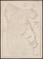
- Creator:
- U.S. Coast and Geodetic Survey
- Published / Created:
- [1881]
- Call Number:
- 851 1881
- Container / Volume:
- BRBL_00639
- Image Count:
- 1
- Resource Type:
- Maps, Atlases & Globes
- Description:
- Imperfect. Chipped with possible loss of text.
- Publisher:
- U.S. Coast and Geodetic Survey,
- Subject (Geographic):
- Bahamas--Discovery and exploration--Maps and Bahamas--Maps
- Subject (Name):
- Columbus, Christopher--Travel--Caribbean Area--Maps
- Found in:
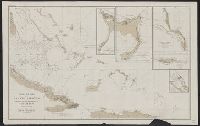
- Beinecke Rare Book and Manuscript Library > Chart of part of the Bahama Islands showing the tracks ascribed to Columbus on his discovery of the New World / compiled and drawn, under the direction of W.T. Bright, in charge of Drawing Division, U.S. Coast and Geodetic Survey Office ; by T.J. O'Sulliv
- Published / Created:
- 1816
- Call Number:
- 851 1816
- Container / Volume:
- BRBL_00694
- Image Count:
- 1
- Resource Type:
- Maps, Atlases & Globes
- Alternative Title:
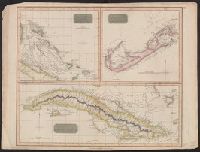
- Bermudas or Summer Islands. and Island of Cuba.
- Description:
- "Neele sculp. ... "
- Publisher:
- Drawn & engraved for Thomson's New General Atlas,
- Subject (Geographic):
- Bahamas--Maps, Bermuda Islands--Maps, Caribbean Area--Maps, and Cuba--Maps
- Subject (Name):
- John Thomson & Co. New general atlas and Neele, Samuel John, 1758-1824, engraver
- Found in:
- Beinecke Rare Book and Manuscript Library > Chart of the Bahama Islands [cartographic material] : The Bermudas or Summer Islands ; Island of Cuba.
- Creator:
- Carey, Henry Charles, 1793-1879
- Published / Created:
- 1822]
- Call Number:
- 855 1827
- Container / Volume:
- BRBL_00695
- Image Count:
- 1
- Resource Type:
- Maps, Atlases & Globes
- Alternative Title:
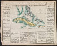
- Geographical, statistical and historical map of Cuba and the Bahama Islands
- Description:
- From Carey's A complete historical, chronological, and geographical American atlas. Philadelphia, Pa. : H.C. Carey & I. Lea, 1822.
- Publisher:
- H.C. Carey & I. Lea,
- Subject (Geographic):
- Bahamas--Maps and Cuba--Maps
- Subject (Name):
- Carey & Lea, Carey, Henry Charles, 1793-1879. A complete historical, chronological, and geographical American atlas, and Tanner, Benjamin, 1775-1848
- Found in:
- Beinecke Rare Book and Manuscript Library > Cuba and the Bahama Islands / [cartographic material] / B. Tanner sc.
- Creator:
- Vandermaelen, Philippe, 1795-1869
- Published / Created:
- 1825]
- Call Number:
- 855 1825A
- Container / Volume:
- BRBL_00695
- Image Count:
- 1
- Resource Type:
- Maps, Atlases & Globes
- Description:
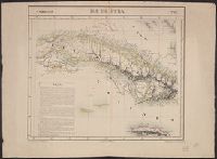
- Above neat line: Amér. sep. ... No. 67.
- Publisher:
- Philippe Vandermaelen,
- Subject (Geographic):
- Bahamas--Maps, Cuba--Maps, and Jamaica--Maps
- Subject (Name):
- Ode, Henri and Vandermaelen, Philippe, 1795-1869. Atlas universel de géographie physique, politique, statistique et minéralogique
- Found in:
- Beinecke Rare Book and Manuscript Library > Ile de Cuba / [cartographic material] / dressée et dessinée par Ph. Vandermaelen ; lithographiée par H. Ode, septembre 1825 ; la lettre par Frs. Charles.
- Published / Created:
- 1851
- Call Number:
- 851cea 1851
- Container / Volume:
- BRBL_00639
- Image Count:
- 2
- Resource Type:
- Maps, Atlases & Globes
- Publisher:
- E. & G,W. Blunt,
- Subject (Geographic):
- Bahamas--Maps
- Found in:
- Beinecke Rare Book and Manuscript Library > The Great Bahama bank with its Islands Cays and Channels Surveyed by ... 1836, 1842.