Search
You Searched For
Search Results
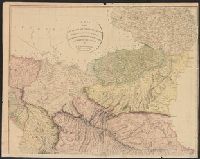
- Published / Created:
- 1804
- Call Number:
- 53 1804
- Container / Volume:
- BRBL_00284
- Image Count:
- 4
- Resource Type:
- Maps, Atlases & Globes
- Publisher:
- A. Arrowsmith,
- Subject (Geographic):
- Middle East--Maps
- Found in:
- Beinecke Rare Book and Manuscript Library > A map of the Environs of Constantinople ... A. Arrowsmith 1801 and 1804.
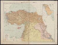
- Creator:
- Geographia Ltd
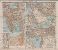
- Published / Created:
- [1920]
- Call Number:
- 53 1925B
- Container / Volume:
- BRBL_00285
- Image Count:
- 1
- Resource Type:
- Maps, Atlases & Globes
- Description:
- Inset: Turkey, 1914.
- Publisher:
- "Geographia",
- Subject (Geographic):
- Middle East--Maps and Turkey--Maps
- Found in:
- Beinecke Rare Book and Manuscript Library > Asia Minor, Syria & Mesopotamia [cartographic material] / Alexander Gross, F.R.G.S.
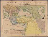
- Published / Created:
- [ca. 1910]
- Call Number:
- 53 1910
- Container / Volume:
- BRBL_00285
- Image Count:
- 1
- Resource Type:
- Maps, Atlases & Globes
- Publisher:
- Le Matin,
- Subject (Geographic):
- Balkan Peninsula--Maps and Middle East--Maps
- Found in:
- Beinecke Rare Book and Manuscript Library > Carte des États Balkaniques, de la Russie Méridionale et de la Turquie.
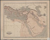
- Published / Created:
- 1843?]
- Call Number:
- 51 B.C. 17
- Container / Volume:
- BRBL_00280
- Image Count:
- 1
- Resource Type:
- Maps, Atlases & Globes
- Publisher:
- s. n.,
- Subject (Geographic):
- Middle East--Maps
- Found in:
- Beinecke Rare Book and Manuscript Library > General map of the counties mentioned in the Bible.
- Published / Created:
- [1915?]
- Call Number:
- 53 1915B
- Container / Volume:
- BRBL_00285
- Image Count:
- 1
- Resource Type:
- Maps, Atlases & Globes
- Description:
- Balkanhalbinsel, 1:2,750,000 -- Westasien -- Die Anmarschlinien von Syrien nach Ägypten, 1:1,400,000 -- Türkisches Reich, 1:3,500,000.
- Publisher:
- Verlag der Geogr. Anstalt von Wagner & Debes,
- Subject (Geographic):
- Balkan Peninsula--Maps and Middle East--Maps
- Found in:
- Beinecke Rare Book and Manuscript Library > Karte zum Krieg im Orient.
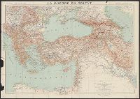
- Published / Created:
- 1916
- Call Number:
- 11hcf 1919B-37
- Image Count:
- 1
- Resource Type:
- Maps, Atlases & Globes
- Description:
- Dessiné et gravé par R. et A. Hausermann.
- Publisher:
- Augustin Challamel, Éditeur,
- Subject (Geographic):
- Balkan Peninsula--Maps, Caucasus--Maps, Middle East--Maps, Russia, Southern--Maps, and Turkey--Maps
- Subject (Topic):
- World War, 1914-1918--Maps
- Found in:
- Beinecke Rare Book and Manuscript Library > La Guerre en Orient : Extrait de la Carte Générale d'Europe / Marcel Dubois et J.G. Kergomard.
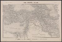
- Creator:
- Peltier, Georges
- Published / Created:
- 1916
- Call Number:
- 53 1916A
- Container / Volume:
- BRBL_00285
- Image Count:
- 1
- Resource Type:
- Maps, Atlases & Globes
- Description:
- "Supplément à l'Illustration."
- Publisher:
- s.n.],
- Subject (Geographic):
- Iran--Maps, Middle East--Maps, and Turkey--Maps
- Subject (Topic):
- World War, 1914-1918--Middle East--Maps and World War, 1914-1918--Turkey--Maps
- Found in:
- Beinecke Rare Book and Manuscript Library > Les fronts d'Asie : de Salonique au Golfe Persique du Caucase a l'Isthme de Suez / G. Peltier, delt.
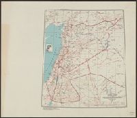
- Creator:
- United States. Army Map Service
- Published / Created:
- 1943
- Call Number:
- 506gm 1943
- Container / Volume:
- BRBL_00276
- Image Count:
- 1
- Resource Type:
- Maps, Atlases & Globes
- Alternative Title:
- [Its A.M.S. ; 5207]
- Description:
- "Lambert conformal conic projection."
- Publisher:
- The Service,
- Subject (Geographic):
- Middle East--Maps
- Found in:
- Beinecke Rare Book and Manuscript Library > Levant states, special strategic map / compiled by the Army Map Service, May 1943.
- Creator:
- Royal Geographical Society (Great Britain)
- Published / Created:
- 1921
- Call Number:
- 53 1921
- Container / Volume:
- BRBL_00285
- Image Count:
- 1
- Resource Type:
- Maps, Atlases & Globes
- Alternative Title:
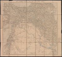
- Eastern Turkey in Asia
- Description:
- "Published by the Royal Geographical Society, 1910. Railways inserted to January, 1921."
- Publisher:
- Royal Geographical Society,
- Subject (Geographic):
- Middle East--Maps
- Found in:
- Beinecke Rare Book and Manuscript Library > Map of eastern Turkey in Asia, Syria and western Persia [cartographic material].
- Creator:
- Royal Geographical Society (Great Britain)
- Published / Created:
- [1915?]
- Call Number:
- 53 1915
- Container / Volume:
- BRBL_00285
- Image Count:
- 1
- Resource Type:
- Maps, Atlases & Globes
- Description:
- "Published by the Royal Geographical Society, 1910. Railways inserted to November 1915."
- Publisher:
- Royal Geographical Society,
- Subject (Geographic):
- Middle East--Maps
- Found in:
- Beinecke Rare Book and Manuscript Library > Map of eastern Turkey in Asia, Syria and western Persia [cartographic material].