Skip to search
Skip to main content
Skip to first result
Search
You Searched For
Subject (Geographic)
Taiwan--Maps
New Search
Search Results
Creator:
Published / Created:
1945
Call Number:
575gm 1945
Container / Volume:
BRBL_00313
Image Count:
1
Resource Type:
Maps, Atlases & Globes
Alternative Title:
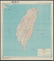
Its A.M.S. ; 5207 and Series (Standard map series designation system) ; 5207.
Description:
"Polyconic projection.", Elevations are shown by hachures and spot heights in meters., and Two classes of roads, and three classes of railroads are shown.
Publisher:
Army Map Service,
Subject (Geographic):
Taiwan--Maps
Subject (Topic):
Transportation--Taiwan--Maps
Found in:
Beinecke Rare Book and Manuscript Library > Formosa : special strategic map / prepared under the direction of the Chief of Engineers, U.S. Army.
Creator:
Published / Created:
1945
Call Number:
575 T15 1945
Container / Volume:
BRBL_00313
Image Count:
1
Resource Type:
Maps, Atlases & Globes
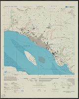
Alternative Title:
[Series] L991 and Tansui
Description:
"1-45.", "A.M.S. L991.", Includes glossary, index map to boundaries, and coverage diagram., and Relief shown variously by contours, hachures, form lines, and spot heights.
Publisher:
Army Map Service,
Subject (Geographic):
Taiwan--Maps
Subject (Topic):
Cities and towns--Taiwan--Maps
Found in:
Beinecke Rare Book and Manuscript Library > Formosa city plans 1: 8,000 : Tansui / prepared under the direction of the Chief of Engineers by the Army Map Service (AM), U.S. Army.
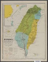
Creator:
Published / Created:
[1901]
Call Number:
575 1901
Container / Volume:
BRBL_00311
Image Count:
1
Resource Type:
Maps, Atlases & Globes
Description:
From Davidson, J.W. The island of Formosa past and present.
Publisher:
A. Koshiba, Lith. Co. Kanda,
Subject (Geographic):
Taiwan--Maps
Subject (Name):
Davidson, James W. (James Wheeler), b. 1872
Found in:
Beinecke Rare Book and Manuscript Library > Formosa, from the latest Japanese government surveys. : With nomenclature showing Japanese and Chinese pronunciation / compiled by James W. Davidson. 1901 ... Outline drawing by T. Obanawa, expert Formosa government. Engraved by N. Nagai.
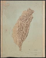
Published / Created:
1943
Call Number:
575cbf 1943
Container / Volume:
BRBL_00313
Image Count:
1
Resource Type:
Maps, Atlases & Globes
Description:
Elevations in feet. and Shows Taiwan and surrounding islands.
Publisher:
Geological Survey,
Subject (Geographic):
Taiwan--Maps
Found in:
Beinecke Rare Book and Manuscript Library > Relief map of Formosa (Taiwan) / prepared and reproduced in the United States Department of the Interior, Geological Survey for the War Department, Office of the Assistant Chief of Air Staff, Intelligence. November 1943.
Creator:
Published / Created:
1899
Call Number:
57 1899A
Container / Volume:
BRBL_00302
Image Count:
15
Resource Type:
Maps, Atlases & Globes
Description:
Includes 5 insets, var. scales: Hypsometrical and bathymetrical chart -- Political division of the Japanese Empire -- Chishima (Kurile Islands) -- [Taiwan and Ryūkyū Islands] -- Ogasawa-Jima (Bonin Islands), Ka and Relief shown by contours and spot heights.
Publisher:
Tōyōdō,
Subject (Geographic):
Japan--Administrative and political divisions--Maps, Japan--Maps, and Taiwan--Maps
Subject (Name):
Matsudaira, N, Suzuki, Kiyotada, and Togawa, Tametsugu
Found in:
Beinecke Rare Book and Manuscript Library > Topographical map of the Japanese Empire, 1899 / Imperial Geological Survey of Japan ; drawn by T. Togawa and K. Suzuki ; engraved by N. Matsudaira.
Branch:v1.64.0 ,Deployed:2024-09-11T10:25:35-04:00