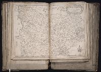
1. Carte generale de Picardie et Artois [cartographic material]. Creator: Tassin, Christophe Published / Created: 1634] Call Number: 1983 Folio 19 Image Count: 1 Description: BEIN 1983 Folio 19: Imperfect: tear in upper left corner, repaired with no loss of text. Reinforced along lower edges with manuscript waste. Sheet measures 38.2 x 51.5 cm. No. 35 of 92 maps bound together. Publisher: Christophe Tassin Subject (Geographic): Picardy (France) and Artois (France) Found in: Beinecke Rare Book and Manuscript Library > Carte generale de Picardie et Artois [cartographic material].
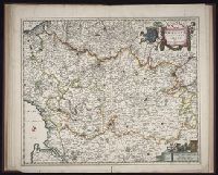
2. Geographica Artesiae comitatus tabula [cartographic material] Creator: Visscher, Nicolaes, 1649-1702, cartographer Published / Created: ca. 1684] Call Number: Folio 469 Image Count: 1 Description: BEIN Folio 469: Sheet measures 52.6 x 60.6 cm. No. 10 of 13 maps bound together with binder's title: Sanson. Publisher: Nicolaes Visscher Subject (Geographic): Artois (France) and Pas-de-Calais (France) Found in: Beinecke Rare Book and Manuscript Library > Geographica Artesiae comitatus tabula [cartographic material]