Skip to search
Skip to main content
Skip to first result
Search
You Searched For
Subject Heading
North Rhine-Westphalia (Germany) > Maps
Search Results
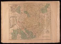
Creator:
Published / Created:
175-?]
Call Number:
1977 Folio 177
Image Count:
2
Description:
BEIN 1977 Folio 177: Sheet measures 54.5 x 72.2 cm. No. 29 of 34 maps bound together.
Publisher:
Thomas Jefferys
Subject (Geographic):
North Rhine-Westphalia (Germany) and Lower Saxony (Germany)
Found in:
Beinecke Rare Book and Manuscript Library > A map of the circle of Westphalia comprehending the bishopricks of Liege, Munster, Paderborn & Osnabrug, the dutchies of Westphalia, Cleves, Juliers, Berg & Verden with the principalities of Minden & East Friesland and the counties of Mark, Ravensberg, Oldenburg, Delmenhorst, Lippe, Diepholt, Steinfort, Bentheim, Tecklenburg, Hoye, Ritberg and Schwartzenburg & c. / [cartographic material]
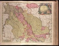
Creator:
Published / Created:
ca. 1702?]
Call Number:
1973 Folio 18
Image Count:
1
Description:
BEIN 1973 Folio 18: Backed with paper. Ms. no. "36" in upper left-hand corner. Sheet measures 53.6 x 62.8 cm. No. 35 of 87 maps bound together.
Publisher:
Gerard Valk
Subject (Geographic):
North Rhine-Westphalia (Germany) and Limburg (Belgium : Province)
Subject (Topic):
Maps
Found in:
Beinecke Rare Book and Manuscript Library > Archiepiscopatus Coloniensis, ducatibus Iuliacensi et Montensi intermedius queis in septentrionem adjacent Geldria Hispanica, ac comitatus Mursanus / [cartographic material]
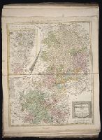
Creator:
Published / Created:
1786.
Call Number:
1983 Folio 23
Image Count:
1
Alternative Title:
Carte geographique du Cercle de Haut-Rhin
Description:
BEIN 1983 Folio 23: Sheet measures 63.7 x 54.5 cm. No. 38 of 50 maps bound together.
Publisher:
Bey denen Homännischen Erben
Subject (Geographic):
Baden-Württemberg (Germany), Hesse (Germany), North Rhine-Westphalia (Germany), and Rhineland-Palatinate (Germany)
Found in:
Beinecke Rare Book and Manuscript Library > Der Ober Rheinische Kreis : nach seinen Unterabtheilungen, entworfen von F.L. Güssefeld
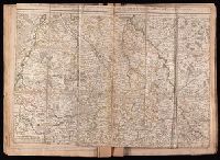
Creator:
Published / Created:
1707.
Call Number:
1977 Folio 177
Image Count:
3
Description:
BEIN 1977 Folio 177: Imperfect: mutilated along dissection, with some loss of text. Stamp on verso: 229. Ms. notes on verso. Dissected and mounted on linen. Sheet measures 50.9 x 70.7 cm. No. 26 of 34 maps bound together.
Publisher:
Chez l'Auteur
Subject (Geographic):
Cologne (Electorate) and North Rhine-Westphalia (Germany)
Found in:
Beinecke Rare Book and Manuscript Library > Partie Meridionale de l'Archevesché et Eslectorat de Cologne, des Duchés de Juliers et de Berg, le Duché de Limbourg, &c.
Creator:
Published / Created:
ca. 1700?]
Call Number:
1973 Folio 18
Image Count:
1
Description:
BEIN 1973 Folio 18: Backed with paper. Ms. no. "37" in lower-right corner. Sheet measures 63.1 x 53.7 cm. No. 36 of 87 maps bound together.
Publisher:
Peter Schenk
Subject (Geographic):
North Rhine-Westphalia (Germany) and Lower Saxony (Germany)
Subject (Topic):
Maps
Found in:
Beinecke Rare Book and Manuscript Library > Tabula nova atque exacta Westphaliae finitimas quoque ditiones prafecturas et satrapias [cartographic material]