Skip to search
Skip to main content
Skip to first result
Search
You Searched For
Subject (Topic)
Railroads--China--Maps
Search Results
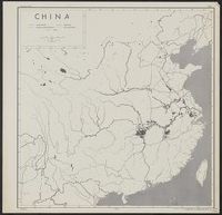
Creator:
Published / Created:
1944
Call Number:
56gm 1944
Container / Volume:
BRBL_00298
Image Count:
1
Resource Type:
Maps, Atlases & Globes
Description:
"31 May 1944."
Publisher:
lithographed in the Reproduction Branch, OSS,
Subject (Geographic):
China--Maps
Subject (Topic):
Railroads--China--Maps, Roads--China--Maps, and Transportation--China--Maps
Found in:
Beinecke Rare Book and Manuscript Library > China [cartographic material] : [transportation] / compiled and drawn in the Branch of Research and Analysis, OSS.
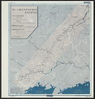
Creator:
Published / Created:
1945
Call Number:
56gme H89 1945
Container / Volume:
BRBL_00299
Image Count:
1
Resource Type:
Maps, Atlases & Globes
Description:
"9 March 1945."
Publisher:
Reproduction Branch, OSS,
Subject (Geographic):
China--Maps, Guangxi Zhuangzu Zizhiqu (China)--Maps, and Hunan Sheng (China)--Maps
Subject (Name):
United States. Office of Strategic Services. Reproduction Branch
Subject (Topic):
Railroads--China--Maps
Found in:
Beinecke Rare Book and Manuscript Library > China [cartographic material] : the Hunan-Kwangsi Railroad / R & A, OSS.
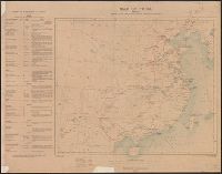
Creator:
Published / Created:
1944
Call Number:
56gm 1944A
Container / Volume:
BRBL_00298
Image Count:
2
Resource Type:
Maps, Atlases & Globes
Description:
"Confidential."
Publisher:
Foreign Economic Administration, Far East Enemy Division,
Subject (Geographic):
China--Maps
Subject (Topic):
Railroads--China--Maps, Roads--China--Maps, and Transportation--China--Maps
Found in:
Beinecke Rare Book and Manuscript Library > China transportation [cartographic material] / Foreign Economic Administration, Far East Enemy Division.
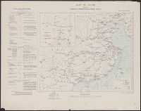
Creator:
Published / Created:
1921
Call Number:
56fd 1921
Container / Volume:
BRBL_00298
Image Count:
1
Resource Type:
Maps, Atlases & Globes
Description:
"Compiled from China Inland Mission map of the Chinese Empire (1911), Stanford's Map of the Siberian Railway (1919), Imperial Geological Survey map of Japan (1911) ..."
Publisher:
Department of State,
Subject (Geographic):
China--Maps
Subject (Name):
United States. Department of State
Subject (Topic):
Harbors--China--Maps, Railroads--China--Maps, and Railroads--East Asia--Maps
Found in:
Beinecke Rare Book and Manuscript Library > General map of China and adjacent regions showing treaty ports and railroads / prepared for the Department of State by the Topographic Branch, U.S. Geological Survey, 1921.
Creator:
Published / Created:
1910
Call Number:
56gm 1910
Container / Volume:
BRBL_00298
Image Count:
1
Resource Type:
Maps, Atlases & Globes
Description:
Based on 1908 edition, with corrections.
Publisher:
War Office,
Subject (Geographic):
China--Maps
Subject (Topic):
Railroads--China--Maps and Telegraph lines--China--Maps
Found in:
Beinecke Rare Book and Manuscript Library > Map of China [cartographic material] : shewing railways, telegraphs and treaty ports.
Creator:
Published / Created:
1913
Call Number:
56 1913
Container / Volume:
BRBL_00296
Image Count:
1
Resource Type:
Maps, Atlases & Globes
Alternative Title:
G.S.G.S. ; No. 2361 and GSGS (Series) ; 2361.
Description:
Includes text on railways in margin.
Publisher:
War Office,
Subject (Geographic):
China--Maps
Subject (Topic):
Railroads--China--Manchuria--Maps, Railroads--China--Maps, Telegraph lines--China--Manchuria--Maps, and Telegraph lines--China--Maps
Found in:
Beinecke Rare Book and Manuscript Library > Map of China [cartographic material] : shewing railways, telegraphs and treaty ports.