Skip to search
Skip to main content
Skip to first result
Search
You Searched For
Genre
Maps
Publication Place
Paris
Search Results
Creator:
Published / Created:
[between 1845 and 1856]
Call Number:
60 1845
Image Count:
1
Resource Type:
cartographic image
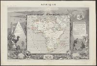
Description:
Relief shown by hachures.
Publisher:
Chez A. Combette, editeur, rue de la Parcheminerie 15 and Impie. de Lemercier
Subject (Geographic):
Africa
Found in:
Beinecke Rare Book and Manuscript Library > Afrique
Creator:
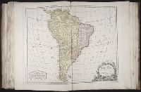
Published / Created:
avec privilege 1750.
Call Number:
2003 Folio 85
Image Count:
1
Description:
BEIN 2003 Folio 85: No. 42 of 45 maps bound together with binder's spine title: Atlas of America; ms. table of contents. Bookplate: Robinson. Bookplate of Paul Mellon.
Publisher:
s.n.
Subject (Geographic):
South America
Found in:
Beinecke Rare Book and Manuscript Library > Amérique méridionale : dresée sur les mémoires les plus récents et assujétie aux observations astronomique
Creator:
Published / Created:
1889 [i.e 1890].
Call Number:
Atlas Coll. Colombia EEhe 889C
Image Count:
57
Description:
BEIN Atlas Coll. Colombia EEhe 889C: Errata slip dated January 15, 1892 pasted to map XI.
Publisher:
Imprenta A. Lahure
Subject (Geographic):
Colombia
Subject (Topic):
Historical geography
Found in:
Beinecke Rare Book and Manuscript Library > Atlas geográfico é histórico de la república de Colombia (Antigua Nueva Granada) : el cual comprende las repúblicas de Venezuela y Ecuador con arreglo á los trabajos geográficos del general de ingenieros Agustin Codazzi, ejecutados en Venezuela y Nueva Granada
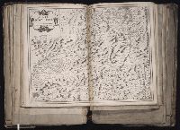
Creator:
Published / Created:
1645.
Call Number:
1983 Folio 19
Image Count:
1
Alternative Title:
Bovlonnois, Pontiev, Artois, Comté de S. Paul et Pays de la Locoüe
Description:
BEIN 1983 Folio 19: Reinforced along lower edges with manuscript waste. Sheet measures 39.5 x 51.7 cm. No. 54 of 92 maps bound together.
Publisher:
N. Berey, proche les Augustins
Subject (Geographic):
Boulonnais (France) and Pas-de-Calais (France)
Found in:
Beinecke Rare Book and Manuscript Library > Boulonnois, Pontieu, Artois, Comté de S. Paul et Pays de la Locoüe [cartographic material].
Creator:
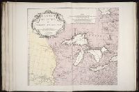
Published / Created:
Novembre MDCCLV [1755]
Call Number:
2003 Folio 85
Image Count:
1
Resource Type:
cartographic image
Description:
BEIN 2003 Folio 85: No. 3 of 45 maps bound together with binder's spine title: Atlas of America; ms. table of contents. Bookplate: Robinson. Bookplate of Paul Mellon.
Publisher:
Chez l'auteur, aux galeries du Louvre
Subject (Geographic):
North America, Louisiana, and Canada
Subject (Topic):
Maps
Found in:
Beinecke Rare Book and Manuscript Library > Canada, Louisiane et terres angloises
Published / Created:
1844.
Call Number:
30 1844
Image Count:
1
Publisher:
Aug. Logerot
Subject (Geographic):
Europe
Found in:
Beinecke Rare Book and Manuscript Library > Carte Générale des routes de Poste de L'Europe ... par A.R. Fremin, Géographe 1844
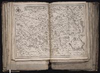
Creator:
Published / Created:
1643.
Call Number:
1983 Folio 19
Image Count:
1
Alternative Title:
Carte d'Avvergne and Carte d'Auvergne
Description:
BEIN 1983 Folio 19: Sheet measures 39.1 x 51.3 cm. Reinforced along lower edges with manuscript waste. No. 37 of 92 maps bound together.
Publisher:
Pierre Mariette
Subject (Geographic):
Auvergne (France)
Found in:
Beinecke Rare Book and Manuscript Library > Carte d'Auuergne [cartographic material].
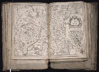
Creator:
Published / Created:
ca. 1634]
Call Number:
1983 Folio 19
Image Count:
1
Description:
BEIN 1983 Folio 19: Sheet measures 39.1 x 51.3 cm. Reinforced along lower edges with manuscript waste. No. 38 of 92 maps bound together.
Publisher:
Christophe Tassin
Subject (Geographic):
Berry (France)
Found in:
Beinecke Rare Book and Manuscript Library > Carte de Berry [cartographic material].
Creator:
Published / Created:
1634]
Call Number:
1983 Folio 19
Image Count:
1
Description:
BEIN 1983 Folio 19: Imperfect: wormhole in center crease, with some loss of text. Reinforced along lower edges with manuscript waste. Sheet measures 38.8 x 51.6 cm. No. 34 of 92 maps bound together.
Publisher:
Christophe Tassin
Subject (Geographic):
Bresse (France : Region)
Found in:
Beinecke Rare Book and Manuscript Library > Carte de Bresse [cartographic material].
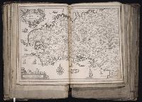
Creator:
Published / Created:
1634]
Call Number:
1983 Folio 19
Image Count:
1
Description:
BEIN 1983 Folio 19: Imperfect: wormhole in center crease, with no loss of text. Reinforced along lower edges with manuscript waste. Sheet measures 38.9 x 51.5 cm. No. 33 of 92 maps bound together.
Publisher:
Christophe Tassin
Subject (Geographic):
Brittany (France)
Found in:
Beinecke Rare Book and Manuscript Library > Carte de Bretagne [cartographic material].